
Skycatch Vision Engine™
Creating highly precise 3D site data consistently is hard. Attaining it rapidly is even harder. Skycatch technology is reliable, accurate and fast. Scroll down to find out why.


Skycatch’s technological advantages have been repeatedly proven in the field with our biggest customers in mining and construction.

Skycatch holds 13 issued patents covering its core technology.
Accuracy
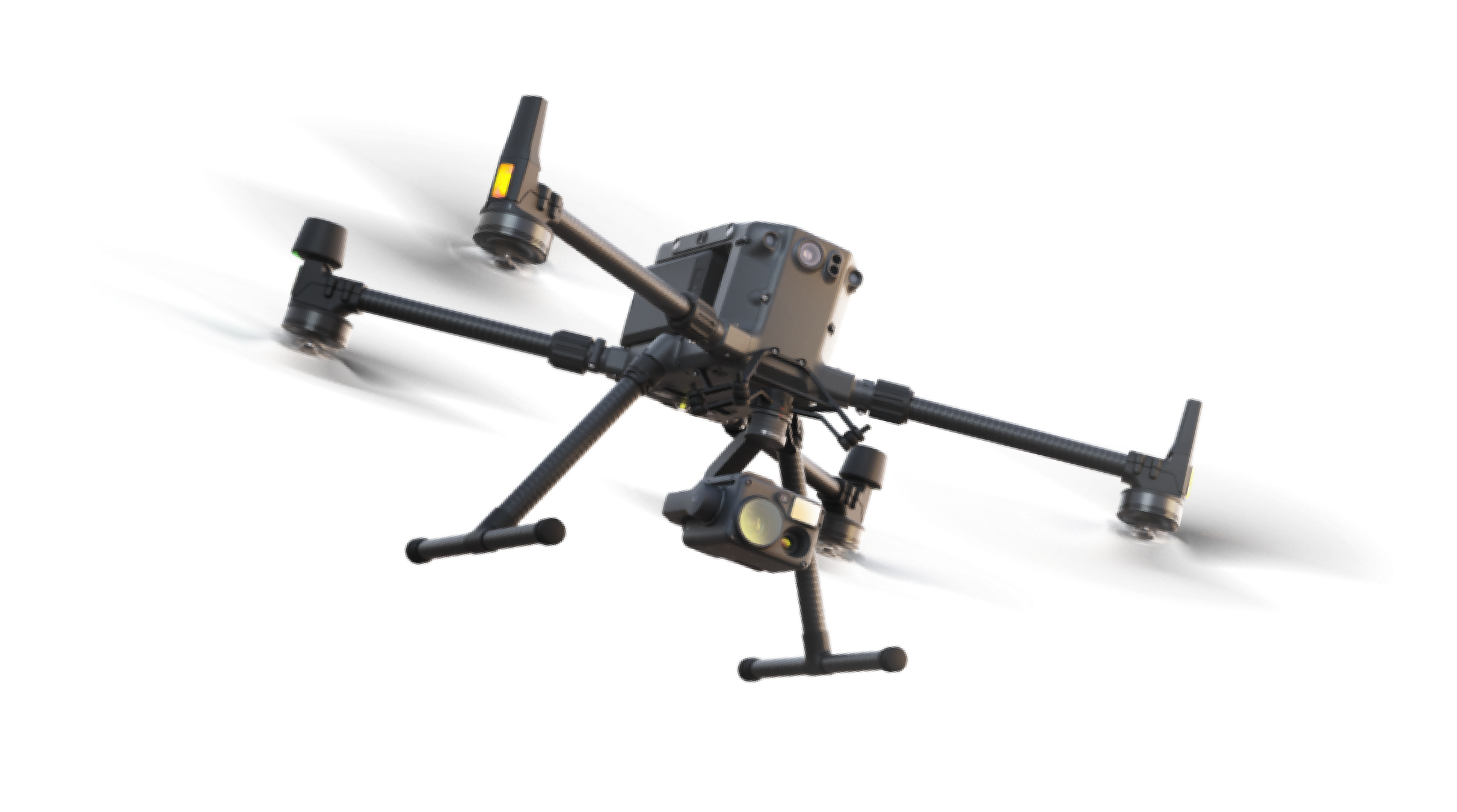
Skycatch is the first company to ship an end-to-end RTK-based drone survey system. We’ve been providing our customers with RTK capable drones and processing since 2016. Through this technology, we’ve enabled customers to get the highest accuracy data without the set up time and safety risks of a GCP-based drone system. Our system provides:


High accuracy georeferenced mapping, even if you can’t physically install control points.
An RTK solution to eliminate GCPs, significantly reducing the amount of time to capture high accuracy data.
RTK and PPK functionality to determine the position of the drone within 1-2 cm.
Microsecond-level drone camera shutter timing to precisely position each frame.
Flexibility to run the high accuracy photogrammetry engine in the cloud or on embedded devices in the field.
Speed.

Skycatch has developed a proprietary photogrammetry engine with a focus on both speed and accuracy.
Our Edge Computing & Smart GNSS processing unit is powered by the NVIDIA TX2. We utilize the parallel processing power of CUDA in order to leverage NVIDIA’s powerful GPUs to accelerate our processing
speed. Data can be rapidly processed in the field to deliver high accuracy results within 30 minutes.

Check out Skycatch's NVIDIA Solutions Showcase
High level speed metrics:
| Number of images | Platform specs | Speed |
|---|---|---|
500 | Edge1 (TX2) | 15 minutes |
1000 | Edge1 (TX2) | 30 minutes |
2000 | Edge1 (TX2) | 80 minutes |
4000 | Edge1 (TX2) | 140 minutes |
For more details on the platform specs please contact us.
Automation

Traditional drone survey workflows use GCP’s which can take hours or days before you can fly and process your data. The Skycatch system uses RTK-based drone capture and processing automation to save time and ease the workflow. Our workflow automation solutions include the following:
Drone flight mission planning and execution (No GCPs).
Data outputs in the site's local coordinate systems, so they can be used in other software systems automatically.
Generation of DTMs by identifying and removing non-ground objects from the 3D site data.
Processed data delivered to the cloud automatically for further analysis and sharing.
Automatic reprojection to local coordinate system.
Automatic removal of objects from the data.
Automatic generation of tiled outputs for GIS systems.
Automation time savings for average scan of 600 images:
| Action | Traditional Way | Skycatch way |
|---|---|---|
| Regular Mapping | With GCPs 3-4 hours Includes placing and verifying accuracy per GCP | RTK based, no GCPs Less than 1 hour Includes connecting to the RTK network, turning on the base station and establishing connection with the drone |
| Highwall Scanning | Requires setting up laser scanners at regular intervals along the wall at close range Typically has a 150 meter range, which means it may have to operate in unsafe or busy areas All of this contributes to added time to operate up to multiple days | RTK based, no GCPs Less than 10 hours depending on resolution First capture requires creation of a base map in under an hour Drone can be flown from a safe location not near the actual highwall |
| Ground Return (Remove objects from terrain data) | Manual editing of point cloud to remove unwanted objects Takes hours | Automatically generated with no human input Takes minutes |
Easy to use, but training available.
Automation gives our construction and mining customers the ability to scale our solutions quickly across multiple projects without the need for extensive training. You are up and running with just a few clicks. Although our systems are extremely easy to use, we do have a certification and online learning system that’s required before you use our products.
Under the hood
A suite of computer vision applications for 3D reconstruction, data post-processing and analysis. It consists of the following:

Projector
Edge & cloud-based 3D reconstruction engine turns 2D images into high accuracy 3D point clouds & models.

Re-Projector
Fully automates the transformation of global coordinates to project/local coordinate systems to ensure data is aligned to existing data.

Surveyor
Automatically extracts various types of measurements from 3D data including DTM’s, volumetrics, contour maps, and distance, slope and area measurements.

Measure
Allows users to perform 3D data analysis: parallel volumetric measurements, constant time output for cloud platforms, cut & fill measurements, comparing against polygon planes, previous datasets and design surfaces.

Insights
Provides advanced AI/ML tools for jobsites including:
Deep-ground - AI 3D segmentation & classification
Machine activity analysis
Stockpile detection & measurement
Progress tracking & predictive analysis

Scans
Our next generation software for high precision 3D capture with LiDAR SLAM technology will provide even higher accuracy and faster time to data.
Infrastructure Agnostic
SVS is built with modularity and portability in mind, so it is just as easy to deploy to server clusters on the cloud or to an embedded device in the field.
On-premise with an on-site server
Embedded on an edge device like Edge1
Private cloud, not publicly exposed
API access via our REST API
Skycatch Edge Platform (SEP)

SEP is an edge automation platform for the unique challenges of enterprises both in construction and mining who require immediate access to mission critical, high precision site data for visibility and operations at their remote (and often off-the-grid) locations.
Skycatch has a proven platform for industrial data capture & processing on the edge, providing all-in-one solutions for:
Data capture automation (Drone, Lidar, Fixed cameras, other sensors).
High Precision GNSS Applications (RTK/PPK).
Real-time processing at the edge (Photogrammetry, Machine Learning).
LTE/5G ready (high speed wireless connectivity).
Skycatch Aerial Software
SkySync is the proprietary software and IP for synchronization of the camera shutter with GPS time. (Link to patent). This was developed in 2016 and deployed at scale in 2018 through our Explore1 program.


Sign up here for the Skycatch newsletter.